The Straight-Line Map Trap
The straight-line map trap makes nearby places look easy to reach. Learn how terrain, crossings, and route networks change the effort a journey requires.
Why can a nearby place take more effort to reach than a farther one? The straight-line map trap is treating the shortest distance between two points as a useful account of the journey. In northern terrain, water, bog, exposed ground, and sparse crossings can make a close destination awkward to reach, even when the ground between the points looks open.
A ruler measures separation, not access. To judge a route, look at what connects the places, where movement is forced to funnel, and whether the return uses the same network. These clues explain why settlements that appear close may face in different directions for everyday travel.
Nearby settlements can face different corridors
Settlements are connected through routes, not simply by proximity. A river may make two banks look near while concentrating movement at a bridge. A ridge may divide neighboring places, while a pass or low saddle channels travel toward a more distant junction.
This gives a settlement a practical geography that can differ from its position on the page. A village may be linked most directly to a harbor, road, or neighboring valley, rather than to the settlement that appears closest. The map’s network of roads, paths, ferries, and bridges shows these connections more clearly than a line drawn between place names.
For a broad comparison, trace each settlement’s marked links to the nearest usable crossing or junction. If the lines lead away from one another before joining, the places belong to different corridors, despite their apparent closeness.
Distance does not describe the work of the ground
Two routes of similar map length can require different kinds of effort. One may involve sustained climbing; another may be mostly level but cross rough or waterlogged ground. A route that suits a traveler on foot may be unsuitable for a bicycle, cart, or vehicle.
Contour lines help identify where elevation changes quickly, but they do not tell the whole story. A line that stays on gentle ground can still be difficult if it crosses loose rock, wet peat, or an exposed slope. Conversely, a route with a short steep section may be manageable for one traveler and a poor choice for another.
Think about the hard parts, not just the total line. Note where the climb begins, where footing may change, and whether the most demanding section comes before or after a crossing. The intended mode of travel and the load matter as much as the map’s distance.
Crossings decide which routes are connected
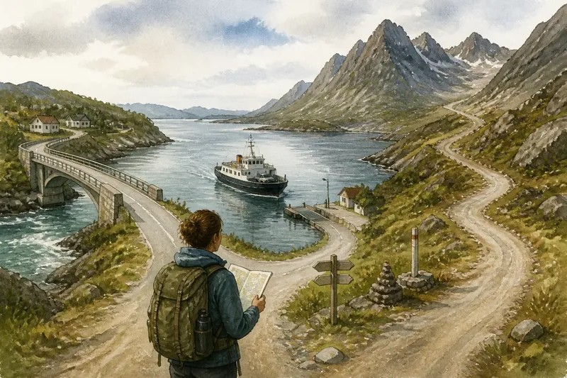
Water and broken ground can turn a simple-looking journey into a detour. A river may have one bridge serving a long stretch of bank; a narrow inlet may require a ferry or a route inland. A path that reaches the water’s edge is not evidence that it crosses.
On the map, look for a bridge, ferry point, or other marked crossing, then follow the route on both sides. Check whether the path continues beyond it and connects to the intended destination. For current access or safety conditions, consult local information or the relevant land manager; mapped symbols do not establish that a crossing is open or suitable.
It is not worth tracing every minor bend in a mapped road before you know whether the route crosses the main barrier. First identify the crossing that makes the journey possible. Then compare the approaches to it.
Routes are shaped by access and upkeep
A marked route reflects more than terrain. Roads and paths may follow property boundaries, established access, or connections maintained for local use. A route can be indirect because it serves several places along the way, not because the shortest line would be too steep.
Maps also simplify. At a broad scale, a small ravine or a rough patch may disappear; a route line may not distinguish a maintained track from a narrow path. Compare a topographic map with a current trail map or local access information when the surface, closure status, or permitted use matters.
Do not read a bend as proof of a particular obstacle. It offers a clue, not an explanation. The map shows where a route goes; terrain and current local information help establish what that route is like now.
A worked route comparison shows what proximity leaves out
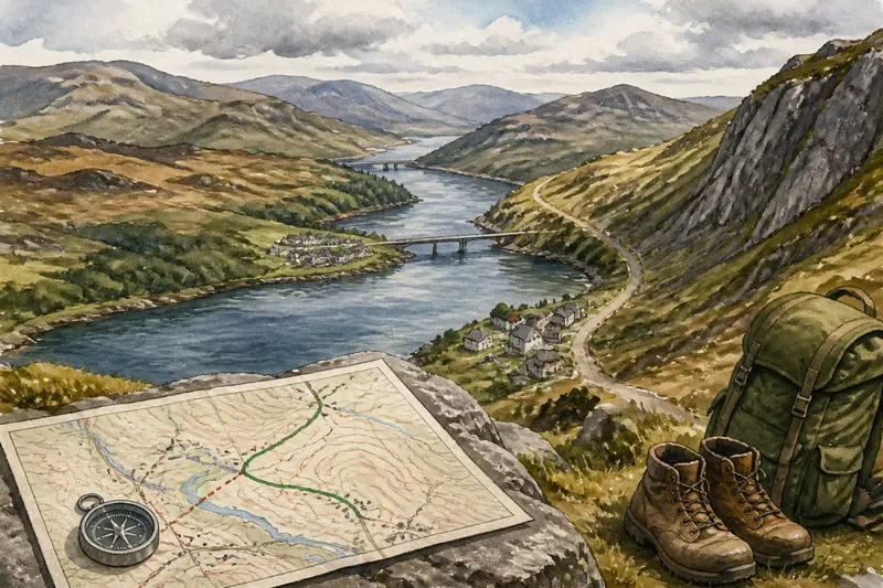
Imagine a traveler planning a walk between two settlements. For this invented example, the map shows them close across a river, with a bridge farther upstream and a marked path that follows the bank to it. The direct line crosses water, so it is not a usable route.
The traveler first traces the path from the starting settlement to the bridge, then confirms that a marked route continues from the far bank toward the destination. Next, the traveler checks the contours along both approaches and sees that the upstream route includes a climb, while the direct line offers no mapped crossing at all. The resulting decision is to compare the bridge route’s climb and surface with the traveler’s needs, rather than treating the straight-line distance as a journey estimate.
If current access information says the bridge is closed, the decision changes: the traveler must find another confirmed crossing or choose a different destination. The example does not establish how long either route takes; it shows how one missing connection can outweigh apparent closeness.
Use these map checks to choose between routes
- Observe whether a marked route reaches the destination. If it connects continuously, compare its terrain; if it ends short, look for another mapped link rather than assuming a way through.
- Observe where a river or inlet is crossed. If a bridge or ferry is marked and the route continues on both sides, assess that crossing; if not, seek current local information or choose a route with a confirmed crossing.
- Observe contour spacing on the approach. If contours bunch together, account for a steep section; if they spread out, check for other obstacles before treating the approach as easier.
- Observe whether the route suits the mode of travel. If a path is marked but the plan involves a vehicle or bicycle, verify permitted use and surface; if that information is unavailable, choose a route shown as suitable for the intended mode.
- Observe whether a return uses the same route. If it does, consider the reversed climb and descent; if it does not, trace the return separately and check its crossings.
- Observe whether current access information conflicts with the map. If a closure or restriction is listed, follow that information and find an open alternative; if none is confirmed, postpone or revise the journey.
Which map clues help explain a close destination?
Does a longer route always require more effort?
No. A longer route may avoid a steep slope or an uncrossable barrier, while a shorter one may concentrate climbing or rough ground. Compare the terrain, crossings, and intended mode of travel.
How do contour lines help with route choice?
Contour spacing indicates how quickly elevation changes: close lines generally mean steeper ground. It does not describe surface condition, so use route markings and local information as well.
Can a straight line show whether a route is open?
No. It shows the separation between points, not access, permission, or current condition. Follow mapped connections and check current information where access matters.
Why might two close settlements use different routes?
A river, ridge, or lack of nearby crossings may connect each settlement to a different corridor. Trace their roads and paths to see where those networks actually meet.
The straight-line map trap disappears once the question changes from “How close are they?” to “What connects them?” A bridge, pass, or maintained route can matter more than the gap on the page. Check that connection first, then judge whether its ground and access suit the journey.