Bridge, Ferry or Pass: Three Kinds of Crossing
Bridge, ferry or pass: compare the trade-offs each crossing makes and see what to check before choosing a route through water, a gap or high ground.
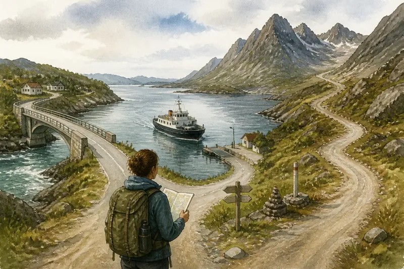
Which crossing makes a route usable: a bridge, a ferry or a mountain pass? Bridge, ferry or pass is not merely a choice of map symbol; each offers a different bargain with the landscape, and each makes movement depend on something different.
A bridge trades flexibility for a fixed connection
A bridge gives a route a permanent point across a river, inlet, ravine or patch of wet ground. Its advantage is predictability of location: the crossing does not depend on a departure time or on finding a lower route through high terrain.
That fixed point also concentrates movement. Roads and paths must reach the bridge, and the approaches can be the limiting part of the journey. A span may cross a river neatly while one end meets a steep slope, a narrow road or a track that serves only a few places.
Bridges suit barriers where a stable crossing point can connect usable ground on both sides. They are less persuasive as a route choice when the approach is awkward or when reaching the span requires a long detour. The structure solves the gap, not every problem around it.
A ferry trades a fixed link for a working service
A ferry makes water part of the route rather than placing a permanent structure over it. This can connect shores without a bridge, but the connection relies on a vessel, functioning landings and a service that operates at the time a traveler needs it.
The trade-off is flexibility in infrastructure for dependence on operations. A bridge remains in one place; a ferry route can serve a crossing without a fixed span, but the journey is tied to schedules and conditions. A short passage over water may still involve waiting, reaching the departure point and continuing from the far landing.
Ferries can also join unlike places: a busy road on one shore and a small settlement or remote track on the other. That makes the crossing useful for local connections even when it does not create a continuous, road-like route. The landing points and onward links matter as much as the water passage.
A pass trades directness for a corridor through high ground
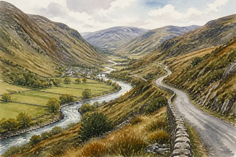
A mountain pass is a route through elevated terrain, often following a lower opening between ridges. It neither spans a gap nor carries travelers across water. Instead, it offers a way through a barrier that would otherwise force a much longer route around or a difficult route over.
The pass’s advantage is access through a landscape where the ridgelines constrain movement. Its cost is the climb and descent: the route can be exposed, steep or affected by seasonal conditions. A pass may connect two valleys while leaving travelers with substantial approaches on either side.
Unlike a bridge, a pass is shaped by the land rather than built to make a single crossing point. Unlike a ferry, it does not depend on a vessel or departure schedule. Its usefulness depends on whether the terrain offers a workable corridor and whether that corridor suits the journey.
Compare the crossing by its trade-offs?
What makes a bridge different from a ferry?
A bridge provides a fixed connection over an obstacle, while a ferry carries travelers between landings across water. The bridge depends on its approaches; the ferry depends on its service and the connections at both landings.
When is a mountain pass useful?
A pass can provide a route through high terrain where crossing a ridge directly would be difficult. Its approaches and current conditions still determine whether it is practical for a particular journey.
What should I compare on a map?
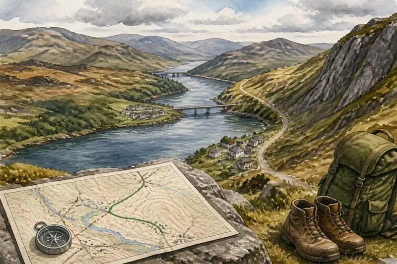
Compare the barrier each crossing addresses, the kind of connection it provides and what the route depends on. Check the map legend, the terrain around the crossing and current local information for any service or access conditions.
Use the same checks for all three crossing types
A compact comparison works best when it asks the same questions of every route. Use these checks to distinguish the crossing’s advantage from its dependency:
- Identify the barrier. If the route meets water, a ravine or high ground, then compare options designed for that obstacle; if the map does not make the barrier clear, check the terrain and legend before deciding.
- Inspect both approaches. If each side connects to a usable road, path or settlement, then keep the crossing in consideration; if one approach is steep, narrow or remote, compare another route.
- Check what keeps the link available. If a bridge provides the fixed connection you need, then assess its access routes; if a ferry depends on a schedule or a pass on conditions, verify those details before relying on it.
- Trace the onward route. If the crossing connects to the destination without another awkward transfer, then it may be a direct option; if it ends at a landing, track or isolated road, account for that continuation or choose another link.
- Compare the actual journey, not the gap. If the approaches and crossing form a coherent route, then compare it with alternatives; if a short map line hides a long climb, wait or detour, favor the route whose full connection works better.
- Check current access information. If the route or service is confirmed usable for the intended trip, then include it in the comparison; if access is uncertain, consult the operator or local authority and keep an alternative route.
Work through a route choice from start to finish
Say you are planning an invented trip from a coastal town to a village across an inlet. On your map, a road circles the inlet, a ferry crosses it, and a mountain pass appears inland. For this example, assume the ferry’s published schedule fits your planned arrival, its far landing connects to the village road, and the pass route would require a climb and a long descent.
First, identify the barrier: the inlet is the direct obstacle between town and village. Second, trace both ferry landings and confirm the onward road, so the water crossing forms a continuous route. Third, compare the dependencies: the ferry requires an operating service, while the road around the inlet does not require a departure time. Fourth, compare the pass on its own terms; it avoids the ferry but adds high-terrain approaches that do not improve this particular connection.
Under those stated assumptions, the ferry is the more direct choice if its service remains available at the planned time. If the schedule changes or the service is not operating, the road around the inlet becomes the alternative. The pass is not automatically inferior; it simply offers a different corridor with a less suitable trade-off for this invented journey.
Skip comparisons that ignore the approach
It is not worth measuring only the line across the water or the apparent notch between ridges. Such comparisons leave out the ferry landing, bridge approach or climb that determines how the crossing works as part of a route.
For Bridge, Ferry or Pass decisions, compare the barrier, the connection type and the dependency that could interrupt it. A bridge concentrates movement at a fixed point, a ferry makes water a scheduled link, and a pass channels movement through high terrain. The useful choice is the one whose crossing and approaches fit the whole journey, not the one that looks simplest as a symbol.